If you're working on scale factor geography practice problems with answer key, you’re likely trying to convert map distances to real-world distances or checking your understanding before a test or fieldwork. It’s not about memorizing formulas. It’s about knowing how to read a map scale correctly, avoid common calculation errors, and apply the scale factor reliably across different map types.
What does “scale factor” mean in geography?
In geography, the scale factor is the ratio between a distance on a map and the corresponding real distance on the ground. For example, a map scale of 1:50,000 means 1 cm on the map equals 50,000 cm (or 500 m) in reality. The number 50,000 is the scale factor. It’s used to multiply map measurements and get actual distances or divide real distances to find map lengths.
When do students and teachers use these practice problems?
These problems show up in GCSE, AP Human Geography, and middle school map skills units. You’ll need them when interpreting topographic maps, planning hiking routes, comparing city sizes on world maps, or estimating travel time from a road atlas. They’re also essential for GIS basics and fieldwork prep like measuring watershed length from a printed map before visiting a site.
How do you solve a typical scale factor geography problem?
Start by identifying the map scale it’s usually written as a ratio (e.g., 1:25,000), a bar scale, or a statement (“1 cm = 2 km”). Then:
- Measure the distance on the map (in cm or mm).
- Multiply that measurement by the scale factor to get ground distance in the same unit.
- Convert units if needed (e.g., cm → m → km).
Example: A map has scale 1:100,000. You measure 3.4 cm between two towns. Real distance = 3.4 × 100,000 = 340,000 cm = 3.4 km.
What mistakes trip people up most often?
Forgetting unit conversions is the biggest issue like leaving the answer in centimeters instead of kilometers. Another common error is misreading the scale: confusing 1:50,000 (1 cm = 0.5 km) with 1:5,000,000 (1 cm = 50 km). Also, some assume all maps use the same scale factor but world maps, street maps, and topographic maps each have very different scales. Always check the scale printed on the map itself, not the textbook margin.
Where can you find more practice with worked answers?
You’ll find step-by-step scale factor geography practice problems with answer key on our dedicated worksheet page, which includes common map scales and realistic scenarios like calculating river length or school catchment area. If you want to go deeper into global comparisons, try the world map scale factor application worksheet. And for focused help turning map measurements into real distances, the real-distance calculation guide walks through each conversion clearly.
What’s a quick way to double-check your answer?
Use estimation. If your map scale is 1:250,000 and you measured 8 cm, then 8 × 250,000 = 2,000,000 cm = 20 km. Does that sound reasonable for the distance between two nearby towns? If you got 200 km instead, you probably missed a zero or forgot to convert cm to km. Also, compare your result to known distances e.g., London to Brighton is ~65 km; if your map calculation gives 6.5 km or 650 km, something’s off.
Before moving on, try this quick check: On a 1:75,000 map, a trail measures 12.6 cm. What’s the real length in kilometers? (Answer: 9.45 km.) If that felt smooth, you’re ready for more complex tasks like using scale to estimate area or comparing scales across map editions. If not, revisit the practice problems with answer key especially the ones with bar scale conversions and mixed units.
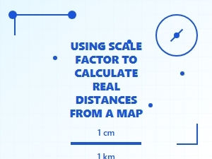 Using Scale Factor to Calculate Real Map Distances
 Working with Scale on a Map Worksheet
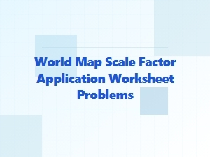 Applying Map Scale Factors to Real-World Problems
 Comparing Original and Scaled Dimensions
 Mastering Scale Factor Word Problems and Solutions
 Applying Scale Factors to Real-World Scenarios